

When I first moved to the greater Boston area (2008), I wanted to get a “feel” for crime in the area. At the top-level, the crime statistics for the various cities that make up the greater Boston area are a good place to start. However, even in relatively small units of space, offending isn’t uniformly spread out e.g., there may be particular streets, or street corners, where certain types of offenses tend to be committed, with these concentrations forming crime hotspots. Sometimes the built environment can split a neighborhood, restricting crime to specific areas; a busy road may keep offending to one side increasing the risk of victimization there, whilst the other side of the road, although geographically close, is virtually crime free. So, although top level crime statistics such as the number of street robberies per year in a particular locale can make a town/city appear relatively safe or dangerous etc., they don’t give the full picture. I once had a flat/apartment in Bootle, Liverpool, and when I used to tell people I lived there, the first thing that they’d mention would be the crime rate. However, where I lived, I never experienced any crime, saw any crime, or heard of any of my neighbors and the people on my street being targeted or victimized. In colloquial terms I was living in the “good part” of Bootle. So, when I moved to the greater Boston area, I started to load police incident reports into my GIS (Geographic Information System) to create heatmaps so I could get an idea about where certain offenses took place. When I loaded up the data for street robberies, two very different streets popped out: Blue Hill Ave, and Boylston Street. This month I ran the same reports adding the last 5-years-worth of data, and I got almost the same, exact results (differences were negligible). One of the things that this suggests is that crime hotspots are extremely stable. In this article I want to look at some of the reasons why these two streets account for such a high percentage of Boston’s street robberies, and how some of their features can help us identify when we might be in a similar type of environment, so we can either up our awareness and/or leave.
The two streets are very, very different in their geographic features. Blue Hill Ave is approximately 4 miles long whereas Boylston Street is much shorter at 0.35 miles long. In terms of street robberies, if the two totals for the roads are combined, then Blue Hill Ave makes up 60% of them and Boylston Street makes up 40%. However, Blue Hill Avenue’s Street Robberies aren’t spread out equally or uniformly. There are two hot spots: one located where the road intersects with Warren St and another about 2 miles south in Mattapan, where the road intersects with Morton Street. However, these two hotspots aren’t as “hot” as the two on Boylston Street, which center around two transit stations: the Boylston T (subway) stop and the Copley T-stop. When drilling down into the Boylston St T-stop hotspot, it can be seen to comprise of two smaller hotspots, which are separated by a relatively busy road (Tremont St). One of the hotspots centers around St Francis House, which is the largest shelter in Massachusetts serving homeless people. It would be easy to quickly jump to the assumption that it is homeless people committing robberies, however it is as likely that they are the ones being victimized – and there are staff nearby who can encourage and help them to file an incident report. Because such populations are extremely vulnerable, they often attract the attention of those whose intention is to prey on them, this can mean that anyone in such a location gets targeted whether homeless or not. The second hotspot, within the larger one, is opposite Emerson Colonial Theatre. In fact, nearly 30% of all the street robberies committed along Boylston St, occurred opposite the theatre. It is likely that the street segments outside both the theatre and the homeless center represent “Crime Attractors” rather than “Crime Generators”, in that offenders who are planning to commit offenses come to these locations looking to target individuals. This is in contrast with the hotspots along Blue Hill Ave, where the combination/intersection of bus routes and stops with fast food restaurants make the hotspots place which “generate” crime by bringing offenders and potential targets together due to each group’s routine activities.
As well as crimes happening in space, they also happen in time. Offending sometimes has a seasonal factor to it, and this can illustrate whether a location tends to be crime generator (a location that finds potential offenders in it due to their regular routine activities), or a crime attractor (a location that specifically attracts motivated offenders because they know that a large pool of potential victims can be found there). The hotspots on Blue Hill Ave are fairly consistent in the number of street robberies throughout the year. There are some slight increases in offending during the summer months, but nothing compared to the jump that takes place on Boylston Street as the days get longer and warmer etc. Locations that tend to generate crime, tend to be more consistent, and have fewer fluctuations throughout the year, whereas those that attract offenders to commit crime are more likely to do so when it is known that a location is going to have a large number of potential targets in it e.g., it is like predatory animals knowing the times of year those they prey on will be in a particular location, and making sure that they will be there at the same time. If time of day is considered, most of the robberies in the Blue Hill Ave hotspots, take place between 3pm and midnight, whereas the largest percentage of those that took place in the Boylston St hotspots took place between midnight and 4 AM, when there would have been fewer people around, suggesting that there were “active” predatory individuals working those areas. Individuals who knew there would be late night stragglers making their way home.
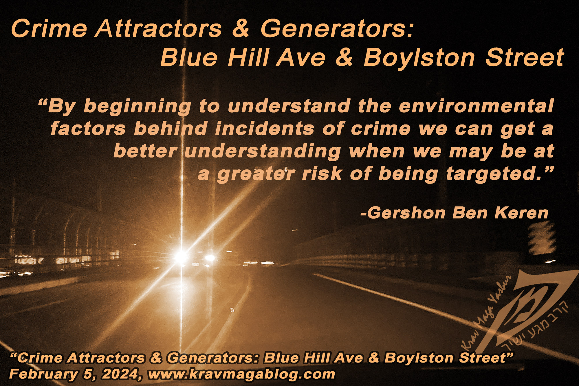
Blue Hill Ave and Boylston Street also represent two slightly different criminological environments. Whilst they share similarities, they also differ in that Blue Hill Ave looks more like a “pathway” than it does a “node”. Nodes are places we visit and spend time in e.g., Emerson Colonial Theatre is a place that people visit/go to. Pathways are the routes that we take to get from one node to another e.g., the route we take to get from our house or place of work to get to a node, such as the Emerson Colonial Theatre. Offenses that take place on pathways are more likely to be the result of crime generation than attraction. By beginning to understand the environmental factors behind incidents of crime we can get a better understanding when we may be at a greater risk of being targeted.
Share:

Gershon Ben Keren
2.8K FollowersGershon Ben Keren, is a criminologist, security consultant and Krav Maga Instructor (5th Degree Black Belt) who completed his instructor training in Israel. He has written three books on Krav Maga and was a 2010 inductee into the Museum of Israeli Martial Arts.
Click here to learn more.